Every route to Highlands ends on a mountain road. The town sits at 4,118 feet, and the last 20 to 40 minutes of any drive are curves and climbs. Times below are approximate, in normal traffic and good weather. Add time for Atlanta and Charlotte rush hours, fall weekends and fog.
Drive times from nearby cities
| From | About | Usual final approach |
|---|---|---|
| Asheville, NC | 1.5 to 2 hours | US 64 west through Brevard and Cashiers, or US 64 east from Franklin |
| Greenville, SC | 2 hours | SC 130 and NC 107 to Cashiers, then US 64 west |
| Atlanta, GA | 2.5 hours | US 441 to Dillard, GA, then NC 106 |
| Knoxville, TN | 2.5 hours | US 23/441 to Franklin, then US 64 east |
| Charlotte, NC | 3 hours | Through Brevard and Cashiers on US 64 west |
| Chattanooga, TN | About 3.5 hours (roughly 160 miles) | Across north Georgia and western North Carolina to Franklin, then US 64 east |
Routes in more detail
From Atlanta
Take I-85 north to I-985, which becomes GA 365 and then US 441. Continue north through Tallulah Falls and Clayton to Dillard. At the light in Dillard, turn right onto GA 246, which becomes NC 106 at the state line. From Dillard it is about 20 minutes up the mountain to Main Street.
From Greenville, SC
Take US 276 north to SC 11. About four miles past the Lake Keowee bridge, turn right on SC 130 toward Cashiers and Whitewater Falls. SC 130 meets NC 107. Turn right, continue to the light at NC 107 and US 64 in Cashiers, turn left onto US 64 west and drive about 12 miles to Highlands.
From Asheville
The scenic route takes I-26 to the airport exit, NC 280 to Brevard, then US 64 west through Cashiers. The alternative takes I-40 west and US 23/74 toward Sylva, then US 23/441 to Franklin, where you pick up US 64 east through the Cullasaja Gorge. Both run about 1.5 hours, and the Brevard route can take longer in traffic.
From Knoxville
The quickest way is I-40 east into North Carolina toward Waynesville, then US 23/441 through Dillsboro and Sylva to Franklin and US 64 east. The scenic way through Great Smoky Mountains National Park and Cherokee takes about an hour longer.
From Charlotte and Chattanooga
From Charlotte, most map apps route you west through Hendersonville and Brevard, then US 64 through Cashiers. From Chattanooga, routes cross north Georgia or follow US 64 through Murphy to Franklin, then climb US 64 east to Highlands.
Flying in
| Airport | Drive to Highlands |
|---|---|
| Asheville Regional (AVL) | About 1.5 hours |
| Greenville-Spartanburg (GSP) | About 2 to 2.5 hours |
| Atlanta Hartsfield-Jackson (ATL) | About 2.5 hours, often more with Atlanta traffic |
| Charlotte Douglas (CLT) | About 3 hours |
| Knoxville McGhee Tyson (TYS) | About 3 hours |
Asheville is closest. Atlanta has the most nonstop flights and often the best fares. There is no rideshare market to speak of up here, so rent a car or book a shuttle. The Highlands Chamber lists several private ride and shuttle services, and Macon County Transit offers public transportation.
Mountain road notes
- US 64 west (Cullasaja Gorge) to Franklin is narrow and winding, with waterfalls beside the road. NCDOT bans large trucks in the gorge. Expect slow drivers at Bridal Veil and Dry Falls.
- US 64 east to Cashiers is curvy but wider, and passes the Whiteside Mountain area.
- NC 106 to Dillard drops steeply past the Blue Valley and Osage overlooks.
- NC 28 runs north to Franklin and south toward Walhalla, SC.
- Closures happen. Storm damage closed part of US 64 in the gorge in January 2024, and NC 106 near Blue Valley Overlook was closed for slope repairs from October to December 2024. Check DriveNC before you leave.
Some passengers get carsick on these roads. Give them a front seat and take the curves slowly.
Winter driving
Highlands averages about 10 inches of snow a year, and January lows average in the mid 20s. Shaded curves and side streets can stay icy for a day or two after a storm. Arrive in daylight, keep a scraper and a blanket in the car, and be ready to wait out a storm rather than drive in it. All-wheel drive helps, though good tires and patience matter more.
Parking and getting around town
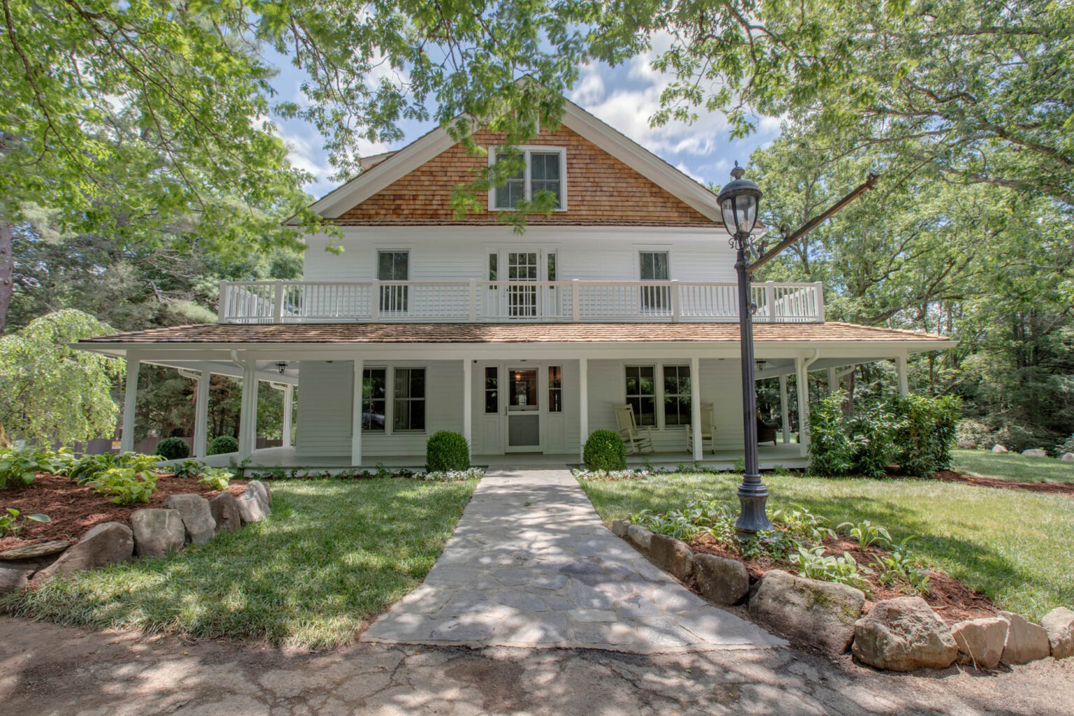
Downtown is walkable, and parking is the hard part on summer and October weekends. Look on Spring Street, Fourth Street and Carolina Way, which are a short walk from Main. The Welcome Center at 108 Main Street asks visitors to use the top lot. Public EV chargers are on Oak Street, Third Street and at the Welcome Center. If you are staying close to town, as at Fairview House, four blocks from Main, park once and walk.
For what to do when you get here, read everything to know before you go and the scenic drives guide.
Common questions
What is the closest airport to Highlands, NC?
Asheville Regional Airport (AVL) is closest, about 1.5 hours away. Greenville-Spartanburg (GSP) and Atlanta (ATL) are each roughly 2 to 2.5 hours.
How long is the drive from Atlanta to Highlands, NC?
About 2.5 hours in normal traffic, via I-985 and US 441 to Dillard, Georgia, then NC 106 up the mountain.
Is the drive to Highlands, NC dangerous?
The roads are winding mountain highways, not dangerous when driven slowly and in daylight. The Cullasaja Gorge on US 64 west is the narrowest stretch, and ice is a concern in winter.
Do you need a car in Highlands, NC?
Downtown is walkable, but you will want a car for waterfalls, trailheads, Cashiers and grocery runs. Rideshare is scarce, so rent at the airport or book a shuttle.
Sources, checked October 2026
- Highlands Chamber: Getting Here
- Highlands Chamber: Frequently Asked Questions
- Old Edwards Inn: Location & Directions
- Wanderlog: Chattanooga to Highlands drive
- Cashiers Area Chamber: Local Info
- Highlands, North Carolina (Wikipedia, NOAA climate normals)
- North Carolina Highway 106, Wikipedia
- NCDOT: N.C. 106 repair and Highlands detour (Oct 2024)
- WLOS: U.S. 64 in Cullasaja Gorge closed to repair storm damage (Jan 2024)
- NCDOT: Crash Closes U.S. 64 Between Highlands, Cashiers (Jan 2026)
- Highlands Chamber of Commerce: Contact / Welcome Center