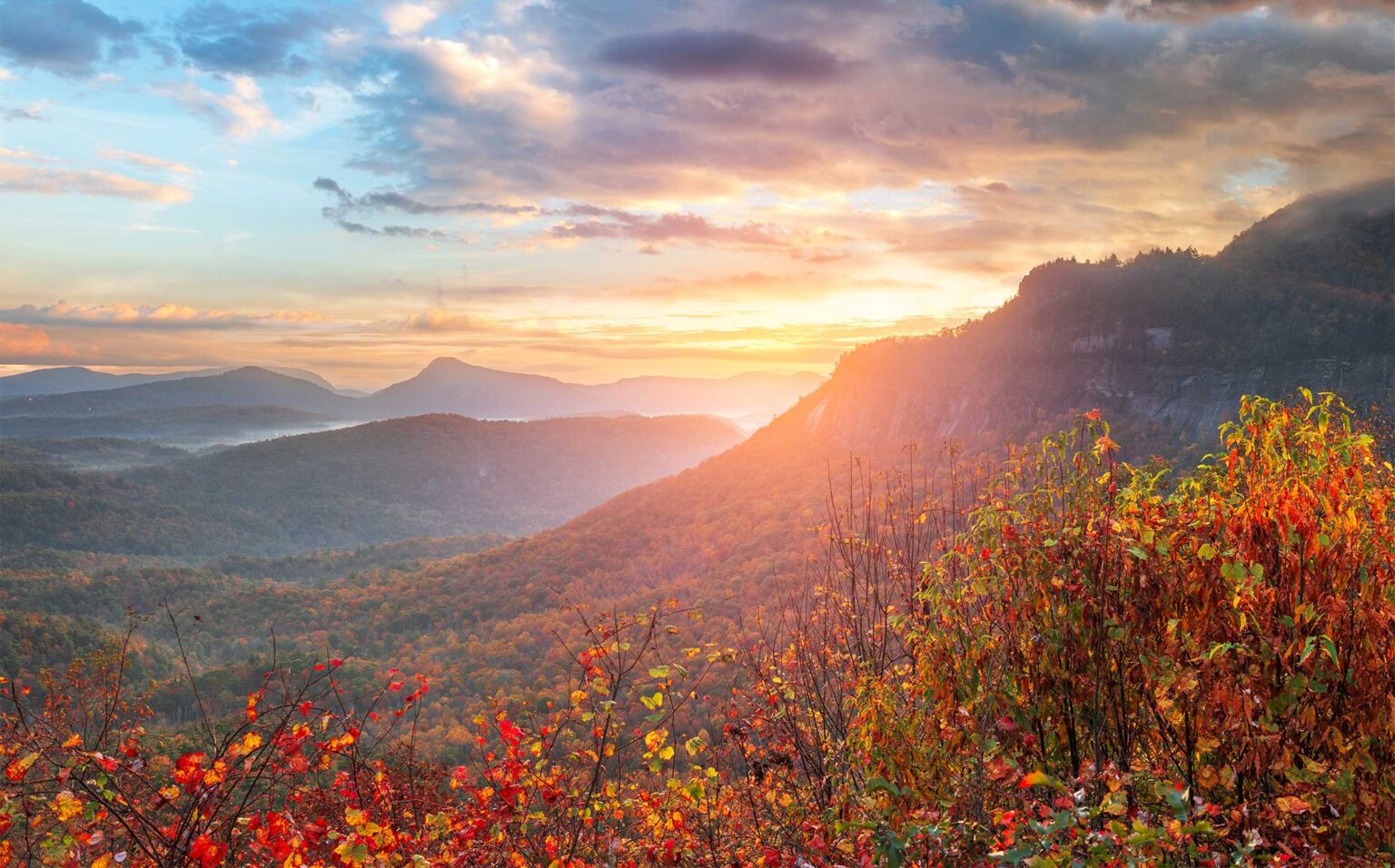
Highlands sits at about 4,100 feet on a plateau, and the water running off it has to drop somewhere. Most of it falls into the Cullasaja Gorge to the west, where four named falls line US 64 within ten miles of town. A few more sit south toward Georgia and east past Cashiers. This guide covers the ones worth your time, how long each takes, and which ones suit a mixed group.
The quick comparison
| Waterfall | Drive from downtown | Walk | Best for |
|---|---|---|---|
| Bridal Veil Falls | About 5 minutes | None; roadside | Everyone, including grandparents |
| Kalakaleskies Falls | About 5 minutes | Steep, rough banks | Quick look from the pull-off only |
| Dry Falls | About 10 minutes | Short path and stone steps; accessible overlook | Walking behind a big falls |
| Glen Falls | About 10 to 15 minutes | About 1 mile down, about 700 feet of descent | Fit hikers |
| Bust Your Butt Falls | About 15 minutes | Short walk from a pull-off | Quick stop on the gorge drive |
| Cullasaja Falls | About 20 minutes | Roadside view only | Careful drivers; no hiking |
| Secret Falls | About 25 minutes, partly gravel | About 0.7 mile, with steps | Wading on a warm day |
| Silver Run Falls | About 30 minutes | About 500 feet, easy | Families with young kids |
| Whitewater Falls | About 45 minutes | Quarter-mile paved path; 154 steps to lower overlook | The biggest view in the region |
West on US 64: the Cullasaja Gorge falls
These all sit on the Mountain Waters Scenic Byway between Highlands and Franklin. You can see three of them in an easy morning. The road is two lanes, steep and full of blind curves, so every stop below depends on using the marked pull-offs and nothing else.
Bridal Veil Falls
About 2.3 miles west of the US 64 and NC 106 junction, on the right. The falls drop about 120 feet over an overhanging ledge. Cars once drove behind the water on the old highway. That loop is closed to vehicles now, but you can still walk behind the falls from the small parking area. It takes ten minutes and needs no hiking, which makes it the easiest stop for anyone who can’t do stairs. Flow depends on recent rain; in a dry spell it can thin to a trickle.
Kalakaleskies Falls
A series of small falls just below the Lake Sequoyah dam, about 2 miles west of the 106 junction. The dam spillway is easy to see from the pull-off. The chamber’s own guide warns that the riverbanks below the dam are steep and does not recommend going down with young children or pets. Treat it as a look from the top.
Dry Falls
About 3 miles west of town, signed, with the lot on the left. The Cullasaja River pours about 75 feet over a rock lip, and a path with stone steps takes you behind the curtain of water. You stay mostly dry in normal flow, hence the name, but expect spray after rain. An accessible walkway leads from the lot to an overlook, so anyone in the group who skips the steps still gets the view.
- The Forest Service charges a day-use fee per vehicle. An annual pass also covers Whiteside Mountain and Whitewater Falls. Cell service is spotty, so buy on Recreation.gov before you leave if you can.
- Open dawn to dusk, year round. No restrooms or drinking water.
- The lot is small and fills by late morning in summer and October. Roadside parking is not allowed. If it’s full, drive on and come back.
Bust Your Butt Falls
About 6 miles west, a series of stair-step drops on the Cullasaja, seen from a pull-off on the right. Swift current and slick, hidden rock make it a bad place to wade. Look from the bank.
Cullasaja Falls
About 8.8 miles west of town, the river drops roughly 200 feet in a long, steep cascade (published heights run from about 180 to 250 feet). It is the most impressive falls in the gorge and the most dangerous to visit. The pull-off is a narrow shoulder on a blind curve, and trucks need both lanes to get around it. Do not try to reach the base. The scramble down is loose and steep, and the chamber, the Forest Service and local waterfall guides all say the same thing.
The safer way to see it: drive past heading west, turn around where it is safe, and pull into the shoulder on your side of the road coming back. Park fully off the pavement. If the shoulder is taken, keep going. Trees now block much of the view from the road, so a quick look on a leafless winter day is often the best you’ll get.
South of town
Glen Falls
Take NC 106 toward Dillard about 1.75 miles, turn left at the Glen Falls sign, then follow the gravel road about a mile to the end. The trail drops about a mile and roughly 700 feet past three main falls, each about 80 feet by the chamber’s count, with viewing spots along the way. Going down is easy. Coming back up is a real climb, so allow at least 90 minutes and bring water. Stay on the main trail; side paths to the lowest sections are steep and slick.
For a group, this splits well. Teens and strong hikers go to the bottom. Everyone else turns around after the first falls, which is the shortest and still worth it.
Secret Falls
Head south on NC 28 just over 4 miles, turn left on Rich Gap Road, then right on the gravel Forest Service road to the trailhead. The walk is about 0.7 mile with a long set of steps at the end. The falls drop about 50 feet into a pool with a small sandy beach that kids love on a summer afternoon. The Forest Service road is closed to cars roughly mid-December to mid-March, which adds walking in winter.
East toward Cashiers
Silver Run Falls
Drive 10 miles to Cashiers, turn right on NC 107 South, and go about 4 miles. Parking is a paved pull-off on the left. A level path of a few hundred feet crosses a footbridge to a 25 to 30 foot falls with a wide pool. It is the easiest swimming hole in the area, and very busy on summer weekends. Use care crossing the highway to and from the cars.
Whitewater Falls
Upper Whitewater Falls drops 411 feet and is usually called the highest waterfall east of the Rockies. From Highlands it is about 23 miles through Cashiers, roughly 45 minutes. A paved walkway of about a quarter mile leads to the upper overlook. It slopes enough that wheelchair users may need help. A second overlook sits at the bottom of 154 wooden steps. There are flush toilets and a large picnic area, and the same Forest Service day-use fee applies. People have died leaving the trails here. Stay behind the railings.
Pair it with Silver Run on the same drive for a half-day loop. Our Cashiers guide has lunch stops on the way.
Safety basics for every falls
- Never climb on rocks at the top of a falls or wade in water that feeds one. Wet rock here is slick as ice.
- Stay on marked trails and behind fences. Shortcuts and off-trail scrambles are where people get hurt.
- Keep kids and dogs close, especially at Dry Falls and Whitewater.
- Park only in marked lots or pull-offs. Never stop in a travel lane on US 64.
- Fire danger and occasional closures change through the year. Call the Nantahala Ranger District at (828) 524-6441 if you want to confirm before driving out.
A half-day plan for a big group
Leave by 9 a.m. in as few cars as possible. Stop at Bridal Veil, then Dry Falls, and turn around there. Back in town by 11 for a late breakfast. If the teenagers still have energy, drop them at the Glen Falls trailhead after lunch. Staying at Fairview House puts you about five minutes from the first stop, so you can beat the tour traffic without an early alarm.
For trails beyond the falls, see our best hikes guide.
Common questions
Can you still drive behind Bridal Veil Falls?
No. The old road behind the falls is closed to vehicles, but you can walk behind it from the parking area on US 64.
Is Dry Falls wheelchair accessible?
Partly. An accessible walkway leads from the parking lot to an overlook. The path behind the falls uses stone steps and is not accessible.
Can you hike to the bottom of Cullasaja Falls?
You shouldn't. The scramble is steep and loose and the pull-off sits on a dangerous curve of US 64. View it from the road only.
Is there a fee to visit waterfalls near Highlands?
Dry Falls and Whitewater Falls charge a Forest Service day-use fee per vehicle, and an annual pass covers both plus Whiteside Mountain. Most other falls are free.
Which waterfall near Highlands is best for small kids?
Silver Run Falls south of Cashiers has a short, level walk and a pool for wading. Bridal Veil Falls needs no walking at all.
Sources, checked October 2026
- Dry Falls, National Forests in North Carolina (USFS)
- Whitewater Falls Pass (Recreation.gov)
- Whitewater Falls (Discover Jackson NC)
- A Guide to Highlands' Must-See Waterfalls (Highlands Chamber)
- Highlands Waterfalls guide 2026 (Highlands Chamber, PDF)
- Bridal Veil Falls (NCWaterfalls.com)
- Dry Falls (NCWaterfalls.com)
- Cullasaja Falls (NCWaterfalls.com)
- Glen Falls (NCWaterfalls.com)
- Silver Run Falls (NCWaterfalls.com)
- Secret Falls (NCWaterfalls.com)
- Lake Sequoyah Dam (NCWaterfalls.com)
- Mountain Waters Scenic Byway (USFS)