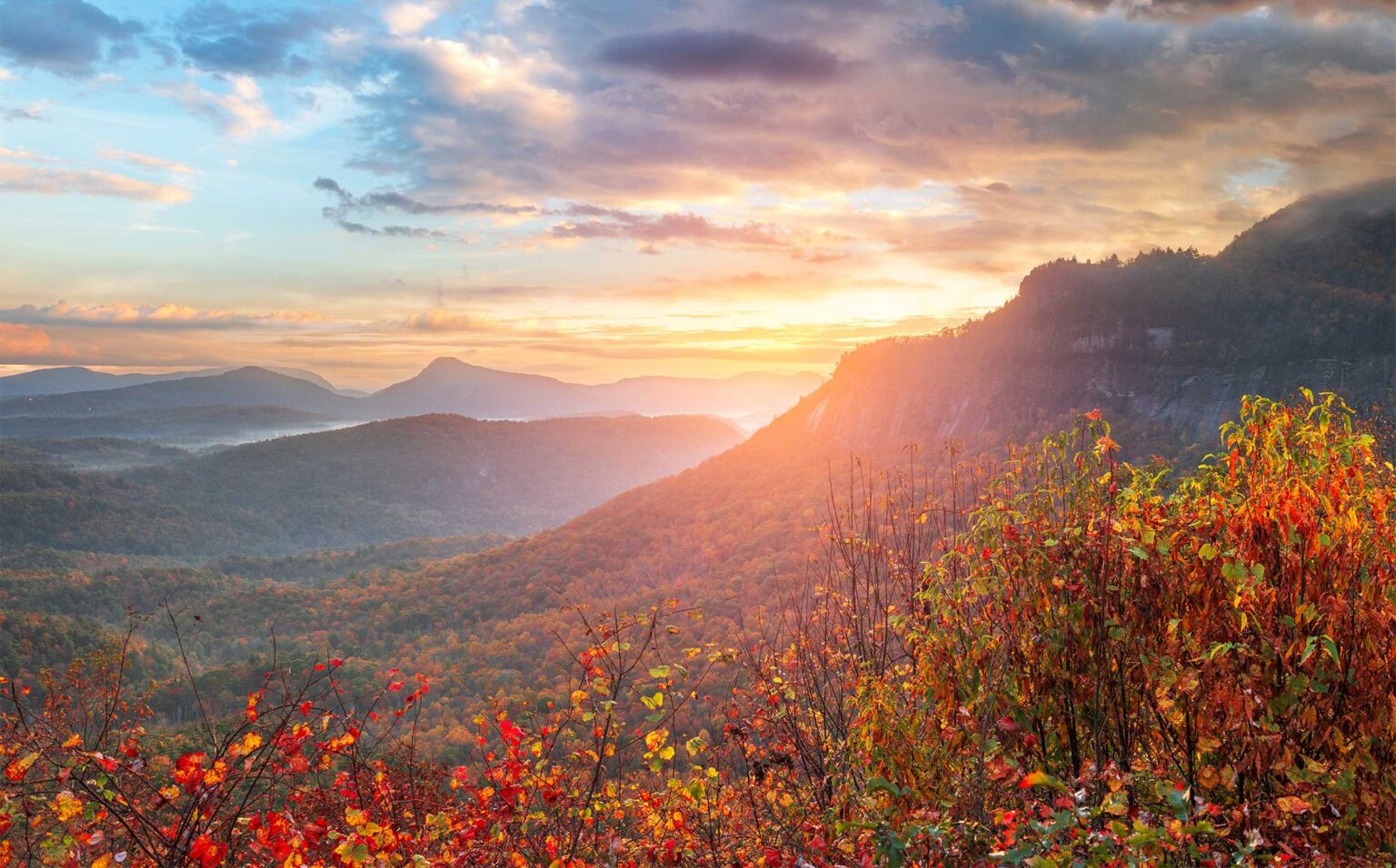
Highlands has a rare setup for hikers. Two summit views start within walking distance of Main Street, and the Nantahala National Forest begins at the edge of town. You can do a sunset walk before dinner without moving a car, or spend a full day on one of the hardest climbs in the region. Below are the trails we send guests to most, sorted from easiest to hardest.
Trail comparison
| Trail | From downtown | Distance | Difficulty | Dogs |
|---|---|---|---|---|
| Botanical Garden, Biological Station | Walk, under 1 mile | Short loops | Easy | Leashed |
| Highlands Plateau Greenway | Walk; trailhead on Oak Street | 10+ miles of linked paths | Easy | Leashed |
| Sunset Rock | Walk, or 2 minutes by car | About 0.5 mile each way | Easy | Leashed |
| Satulah Mountain | Walk, about 1 mile to the road’s end | About 0.5 mile each way from there | Moderate, steep | Leashed |
| Whiteside Mountain | About 15 minutes | 2-mile loop | Moderate to strenuous | Leashed |
| Glen Falls | About 10 to 15 minutes | About 1 mile each way | Moderate; steep return | Leashed |
| Chattooga Loop Trail | About 30 minutes, gravel road | Almost 2-mile loop | Moderate | Leashed |
| Ellicott Rock Trail | About 20 minutes, gravel road | About 3.5 miles each way | Strenuous | Leashed |
| Yellow Mountain | About 12 minutes | Roughly 10 to 12 miles round trip | Very strenuous | Trail-savvy dogs only |
Dogs are welcome on a leash on national forest and town trails. On the Highlands Biological Station grounds, dogs must be leashed and only service animals may go inside buildings.
Walk from town
Highlands Biological Station and Botanical Garden
The garden sits on Horse Cove Road a few blocks from downtown. Paths loop around Lake Ravenel and through native plantings. It is free and open dawn to dusk year round. This is the trail for grandparents, strollers and a slow morning coffee. The Highlands Nature Center building on the same campus is closed for structural repairs through the end of 2026, but the garden and grounds stay open. Park on the gravel across from the Nature Center; GPS often sends people to the research station instead.
Sunset Rock
Ravenel Park, owned by the Highlands-Cashiers Land Trust, has been public land since 1914. From the trailhead across from the Nature Center, a gravel road climbs about half a mile and a little over 200 feet to a granite outcrop facing west over town. It is the easiest real view in Highlands and the obvious place to end a day. The road is also a private drive, so don’t block it if you park nearby. Bring a flashlight for the walk down after sunset.
Satulah Mountain
Satulah’s summit, at 4,543 feet, gives a 270-degree view to the south, east and west. From downtown, head south up 4th Street, continue straight onto Satulah Road at the curve, and follow it to its end. From there an old roadbed climbs about half a mile, steep in places, to the open rock. The trail was rebuilt in recent years by the Highlands Plateau Greenway with the land trust. Parking at the top of Satulah Road is very limited, so walking up from town is the better plan for a group.
Highlands Plateau Greenway
More than 10 miles of natural paths and sidewalks link parks and natural areas around town. The main trailhead is on Oak Street between 2nd and 3rd. It’s open sunrise to sunset and makes a good morning walk or run without driving anywhere.
Short drives, big views
Whiteside Mountain
The signature hike of the plateau. Take US 64 east toward Cashiers and turn right on Whiteside Mountain Road; the Forest Service lot is about a mile up on the left. The 2-mile loop climbs to a ridge at 4,930 feet along the Eastern Continental Divide, running above sheer cliffs about 750 feet high. Views open to the east, south and west. The Forest Service rates it more difficult for its steepness. Allow 1 to 2 hours.
- Day-use fee per vehicle, or the annual pass that also covers Dry Falls and Whitewater Falls.
- Parking is very limited from 9 a.m. to 4 p.m. and on weekends. Illegally parked cars are towed.
- The Forest Service site lists no restrooms or drinking water.
- Peregrine falcons nest on the cliffs in spring and summer. Climbing routes near nests close during nesting season; maps at the lot show current closures.
- Stay well back from the cliff edges, especially with kids.
Glen Falls
About 1 mile and roughly 700 feet down past three waterfalls, then the same back up. Details are in our waterfalls guide. The same lot is the trailhead for Chinquapin Mountain, a 3.2-mile round trip with stream crossings and a long run of switchbacks to the top.
The Chattooga and Ellicott Rock
East of town, Main Street becomes Horse Cove Road. At the end of the pavement, about 4.5 miles out, bear right on Bull Pen Road, a narrow one-lane gravel road into the Chattooga’s Wild and Scenic corridor.
- Chattooga Loop Trail. Starts just before the Iron Bridge, about 5.4 miles down Bull Pen Road. Almost 2 miles around and suitable for families. The bridge itself is a good place to look at potholes the river has carved in the rock.
- Ellicott Rock Trail. Trailhead about 1.8 miles down Bull Pen Road. Roughly 3.5 miles to the point where North Carolina, South Carolina and Georgia meet. The boulder marked “NC” that most people photograph is Commissioner’s Rock from 1813, not the original Ellicott marker. The Ellicott Rock Wilderness has no signs or blazes, so carry a map.
Group size inside the wilderness is limited to 10 people, so a big party needs to split into separate groups on the trail.
All-day challenge: Yellow Mountain
From Cole Gap on Buck Creek Road, the trail passes Shortoff Mountain, drops nearly 900 feet into Yellow Mountain Gap, then climbs more than 1,000 feet to a historic fire lookout on Yellow Mountain with 360-degree views. Sources put it at roughly 10 to 12 miles round trip with about 3,000 feet of total climbing. It is one of the hardest day hikes in the area. Start early, carry plenty of water and plan on most of a day. Parking is free on Buck Creek Road.
Planning hikes with a big group
- Pick two hikes at different levels on the same morning. Whiteside for the strong hikers, the Botanical Garden and Sunset Rock for everyone else, and meet for lunch in town.
- Carpool hard. Whiteside, Dry Falls and Glen Falls all have small lots.
- Cell service fades fast outside town. Agree on a meeting time before you split up.
- Weather on the plateau changes quickly. Pack a rain layer even on a clear morning.
Guests at Fairview House can walk to Sunset Rock, the Botanical Garden and the Greenway without a car. For guided options, including a private 4×4 trip to the top of Satulah, see our family adventures guide.
Common questions
What is the easiest hike in Highlands, NC?
Sunset Rock is about half a mile each way on a gravel road from across the Highlands Nature Center, with a west-facing view over town. The Botanical Garden paths are even gentler.
How long is the Whiteside Mountain hike?
It is a 2-mile loop to a ridge at 4,930 feet above 750-foot cliffs. Most people take 1 to 2 hours. There is a Forest Service parking fee.
Can you walk to Satulah Mountain from downtown Highlands?
Yes. Walk south up 4th Street onto Satulah Road to its end, about a mile, then climb about half a mile on an old roadbed to the summit.
Are dogs allowed on Highlands hiking trails?
Leashed dogs are allowed on national forest and town trails. On the Highlands Biological Station campus dogs must be leashed and only service animals may enter buildings.
Is there a group size limit on Chattooga River trails?
Inside the Ellicott Rock Wilderness, group size is limited to 10 people, so large parties should split up.
Sources, checked October 2026
- Whiteside Mountain (USFS)
- Whiteside Mountain Trail (Discover Jackson NC)
- Highlands Trails guide 2026 (Highlands Chamber, PDF)
- Sunset Rock (Highlands Chamber)
- Highlands-Cashiers Land Trust
- Satulah Summit trail work (The Laurel Magazine)
- Highlands Biological Station
- Highlands Nature Center (Highlands Biological Station)
- Ellicott Rock Wilderness (USFS)
- Yellow Mountain Trail (Discover Jackson NC)
- Yellow Mountain (Asheville Trails)
- Glen Falls (NCWaterfalls.com)
- The Giant Poplar Tree (The Laurel Magazine)