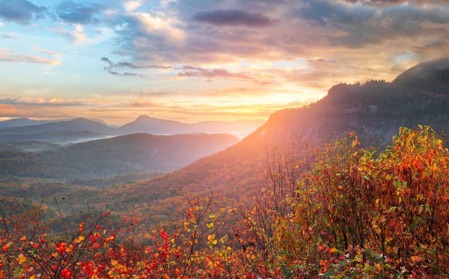
Every road out of Highlands climbs, drops or twists through something worth seeing. The catch is that the same curves that make the views also make these roads demanding to drive. Here are the five drives we recommend, with the pull-offs that matter and how to handle them with a carload or a caravan.
| Drive | Length | Time to allow | Highlights |
|---|---|---|---|
| Cullasaja Gorge (US 64 west) | About 18 miles to Franklin | 1.5 to 2 hours with stops | Bridal Veil, Dry Falls, Cliffside Lake, Cullasaja Falls |
| Highlands to Cashiers (US 64 east) | About 10 miles | 30 to 60 minutes | Rhodes Big View Overlook, Whiteside Mountain |
| Horse Cove Road | About 4.5 paved miles, plus gravel options | 1 to 3 hours | Giant poplar, Chattooga River at the Iron Bridge |
| Whitewater Falls loop | About 50 miles round trip | Half day | Silver Run Falls, Whitewater Falls |
| Blue Ridge Parkway day trip | About 1.5 hours each way | Full day | High overlooks around Balsam Gap and Waterrock Knob |
The Mountain Waters Scenic Byway and the Cullasaja Gorge
The Forest Service’s Mountain Waters Scenic Byway runs 61.3 miles from Highlands to Almond. The first 18 miles, on US 64 west to Franklin, follow the Cullasaja River down its gorge and pass four waterfalls. In order from town:
- Lake Sequoyah dam and Kalakaleskies Falls, about 2 miles out. Pull-off on the left.
- Bridal Veil Falls, about 2.3 miles. Walk behind it from the small lot on the right.
- Dry Falls, about 3 miles. Forest Service lot on the left, day-use fee, accessible overlook.
- Cliffside Lake, turn right about 4.5 miles out and drive 1.5 miles in. Open April 1 through October 31 with a day-use fee. Picnic tables, a short loop around the lake, swimming and fishing.
- Bust Your Butt Falls, about 6 miles. View from the pull-off.
- Cullasaja Falls, about 8.8 miles. Roadside view only, from a narrow shoulder on a blind curve.
Below Cullasaja Falls the road is cut into the cliff with the river far below and little room to stop. Drivers should drive; passengers should look. If you want a longer day, continue through Franklin onto Wayah Road toward Wayah Bald, Nantahala Lake and the Nantahala Gorge, the rest of the byway.
Highlands to Cashiers on US 64 east
Ten miles across the top of the plateau. About 6 miles out, the Rhodes Big View Overlook looks across the valley at Whiteside Mountain. On fall afternoons, the mountain casts a shadow on the valley that locals call the Shadow of the Bear. The overlook sits on a big curve, so slow down well ahead and pull out carefully. The turn for Whiteside Mountain Road is along the same stretch if you want to add the 2-mile summit loop. Our Cashiers guide covers what to do when you get there.
Horse Cove Road
Head east on Main Street and keep going. The road drops off the plateau through a long series of tight switchbacks; the chamber counts 37 curves. In Horse Cove, turn right on Rich Gap Road and walk about 200 feet up a signed path to one of the largest tulip poplars in North Carolina.
At the end of the pavement, about 4.5 miles out, the road forks:
- Right on Bull Pen Road. A narrow, one-lane gravel road to the Iron Bridge over the Chattooga River, with trailheads for Ellicott Rock and the Chattooga Loop. It comes out on NC 107 south of Cashiers.
- Left on Whiteside Cove Road. Passes beneath Whiteside Mountain and comes out on NC 107 in Cashiers.
Bull Pen Road is not a place for a 15-passenger van or a nervous driver. Take smaller vehicles and expect to back up for oncoming cars.
The Whitewater Falls loop
Drive to Cashiers and turn right on NC 107 South. About 4 miles down, stop at Silver Run Falls for a short walk to a pool. Continue south into South Carolina, turn left on SC 130, and follow signs to Whitewater Falls, where the upper falls drops 411 feet. To make a loop, return north on NC 281 to US 64 at Sapphire and head west through Cashiers back to Highlands. Allow half a day with both stops. Details on each falls are in our waterfalls guide.
Blue Ridge Parkway as a day trip
The nearest Parkway section is about an hour and a half away, via Cashiers and Sylva to Balsam Gap (milepost 443). From there, drive north toward the high country around NC 215, or south past Waterrock Knob toward Cherokee. As of October 21, 2026, the National Park Service lists the Parkway open from milepost 400 to its southern end, though sections farther north near Asheville still have Hurricane Helene closures. Parkway sections also close for ice and snow in winter. Check the NPS road status page the morning you go.
Safety on mountain curves
- Use only marked pull-offs. Never stop in a lane to take a photo.
- Use lower gears on long descents, especially on US 64 toward Franklin and Horse Cove Road.
- Trucks swing wide on the gorge curves. Stay right.
- Fog is common on the plateau. Slow down and use low beams.
- In a caravan, don’t try to stay bumper to bumper. Agree on the next stop and regroup there.
Common questions
What is the Mountain Waters Scenic Byway?
A 61.3-mile Forest Service byway from Highlands to Almond. Its first 18 miles follow US 64 through the Cullasaja Gorge past Bridal Veil, Dry and Cullasaja Falls.
Is Horse Cove Road safe to drive?
The paved section is fine with care, though it has many tight switchbacks. Bull Pen Road beyond it is one-lane gravel and best in smaller vehicles.
How far is the Blue Ridge Parkway from Highlands?
The nearest access at Balsam Gap is about an hour and a half away. Check the National Park Service road status page before you go.
Where can you see the Shadow of the Bear?
From the Rhodes Big View Overlook on US 64 about 6 miles east of Highlands, on fall afternoons.
Sources, checked October 2026
- Mountain Waters Scenic Byway (USFS)
- Dry Falls, National Forests in North Carolina (USFS)
- Cliffside Lake and Day Use Area (USFS)
- A Guide to Leaf Peeping in Highlands (Highlands Chamber)
- Highlands Waterfalls guide 2026 (Highlands Chamber, PDF)
- Cullasaja Falls (NCWaterfalls.com)
- Bridal Veil Falls (NCWaterfalls.com)
- Lake Sequoyah Dam (NCWaterfalls.com)
- The Giant Poplar Tree (The Laurel Magazine)
- Ellicott Rock Wilderness (USFS)
- Whitewater Falls (Discover Jackson NC)
- Silver Run Falls (NCWaterfalls.com)
- Blue Ridge Parkway Road Status and Closures (NPS)